 Vanoor
Guide
Offline maps on your Apple Watch: run where reception doesn't
Maps on a watch are only as good as the connection feeding them. On road runs in a city you rarely notice; on a forest trail, in the mountains, or anywhere the signal drops, a streaming map turns into a grey grid exactly when you need it most.
How offline maps work in Vanoor
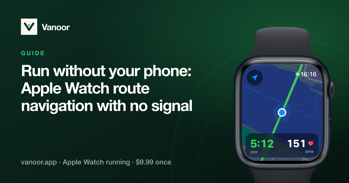
When a route syncs to your Watch, the iPhone renders a corridor of Apple Maps along the whole line and sends those tiles over with the route, stored on the Watch itself. From that moment the run needs zero network: no iPhone nearby, no LTE model required, no roaming worries abroad — and no third-party map server involved, ever.
- Garmin-style reliability: the map is already on your wrist before you start.
- Battery friendly: no radio waking up to stream tiles mid-run.
- Two map modes: live Apple Maps when you're connected, or the offline copy when you want guarantees — switchable in settings, same cartography either way.
No GPX? Draw the route
You do not need a file to get a route onto the Watch. Vanoor's built-in route planner lets you tap the corners of a loop on the map; each leg snaps to the streets and paths between the taps, the distance and kilometre markers update as you go, and you can search for a start point, undo, or close the loop back to where you began. Save it and it syncs to the Watch — with its offline tiles — like any imported GPX.
What you see mid-run
The full route line, your live position and heading, kilometre markers, direction arrows, progress and distance-remaining metrics, and off-route warnings — all rendered from on-watch data. If you do need to abandon, Back to Start retraces your actual breadcrumb trail, which also works offline.
Setting it up
There is nothing to set up. Import or draw a route on the iPhone (GPX guide here), let it sync, and the tiles come along automatically. You can see the offline coverage on the route's detail page before you head out.
Related guides
Picked by shared topics.

Keep the Watch. Upgrade the run.
Vanoor — offline route navigation, race pacing and structured workouts on the Apple Watch you already own.
Get Vanoor 7-day free trial · $9.99 once, no subscription · no account